SOMISANA
Sustainable Ocean Modelling Initiative: a South african
approach
A Sustainable Ocean Modelling Initiative: a South African Approach (SOMISANA)
The vision of SOMISANA is for a sustained and transformed critical mass of internationally recognized South African numerical ocean modelling experts who provide accurate information about the changing state of the ocean for enhanced impact. The meaning of SOMISANA is ‘to work together’, underscoring the role that we hope SOMISANA will play in facilitating collaboration and cooperation between various institutes in generating information about the state of the ocean that supports coastal resilience.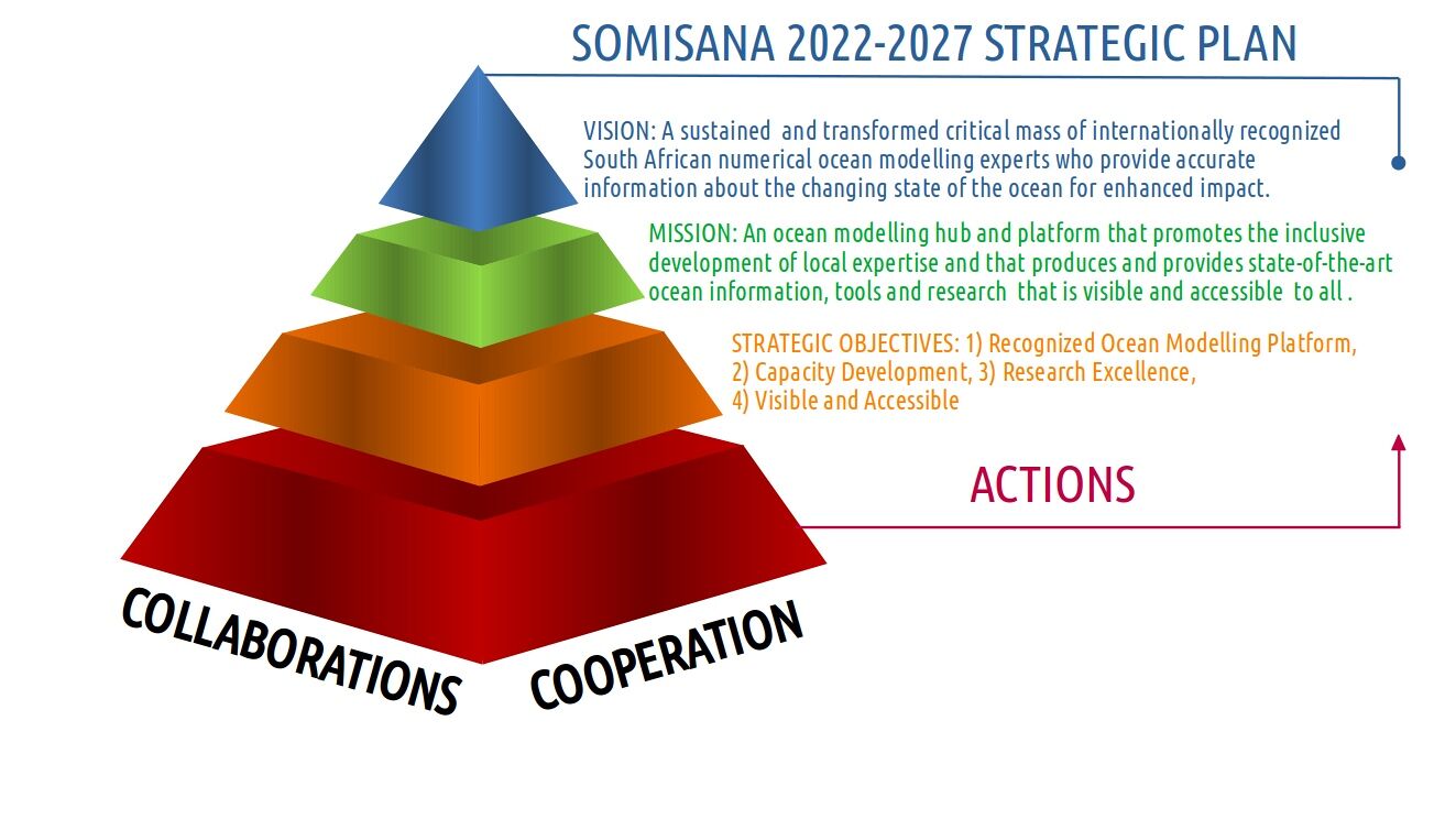
The Case for Numerical Ocean Modelling
Numerical modelling plays a crucial role in understanding and predicting the complex dynamics of the ocean as it provides information, throughout the water column, that is both temporally and spatially coherent. It is a powerful tool in understanding variability in and linkages between various aspects of the marine environment, including currents, temperature, salinity, nutrient distribution and ecosystem interactions. These models help researchers and policymakers gain valuable insights into the functioning of the ocean, assess potential impacts of human activities, and develop effective management strategies.SOMISANA recognizes the significance of numerical modelling in addressing marine challenges and aims to expand South Africa's modelling capabilities. By utilizing existing global models, such as those developed
by Copernicus Marine Services (CMEMS) and others, SOMISANA can build upon established frameworks and adapt them to regional contexts. This approach allows South Africa to leverage international expertise, data, and infrastructure while tailoring the models to address specific local concerns and conditions.
Alignment with National Imperatives
With the ratification of Operations Phakisa in 2014, an initiative to fast-track the unlocking of the economic potential of South Africa’s oceans to support the National Development Plan, it is more crucial than ever that operational information of the present and future state of the ocean is available to stakeholders and policy-makers for good governance and sustainable management of our coastal ocean. To this end, SOMISANA contributes directly to the Department of Forestry, Fisheries and the Environment's, Ocean and Coastal Information Management System (OCIMS) whose objective is to develop and deliver operational decision support tools for various coastal stakeholders.Alignment with International Imperatives
2021-2030 is the United Nations Decade of Ocean Science for Sustainable Development with the vision of producing the science we need for the ocean we want. Several programs have been endorsed to help achieve the seven outcomes that describe the ‘ocean we want’: a clean ocean, a healthy and resilient ocean, a productive ocean, a predicted ocean, a safe ocean, an accessible ocean and an inspiring and engaging ocean. The objectives speak to not only the development of a sustainable oceans economy, but crucially to enhanced understanding of the changing state of the ocean for effective protection of its ecosystems. Societal impact underscores the mission of the Oceans Decade, with the generation of freely accessible information intended to contribute to society’s understanding of the value of the ocean and how to respond to its changing state, to mitigate against coastal hazards and to support a sustainable food supply. To contribute meaningfully to the UN Oceans Decade, it is crucial that South Africa develop a critical mass of expert numerical modellers who are able to develop methodological approaches that are appropriate to its socio-economic context.THREDDS
Utilize our THREDDS server for SOMISANA's extensive data library. As the standard protocol for accessing NetCDF files, it offers high-resolution ocean data to illuminate our regional domains. The server is adept at generating WMS web-maps, thereby enabling efficient creation of interactive, data-rich maps. Thanks to its user-friendly interface, large datasets can be navigated seamlessly, making it a vital tool for data-driven decision-making in multiple fields.Access Files
-Superseded
Files
With our File Server, you have the ability to directly download raw files, providing flexibility to work with data in your preferred format. Additionally, it supports cutting-edge cloud-optimized file formats, such as Zarr directories and Kerchunked NetCDF v4 range pointers. This innovative approach guarantees users can manage substantial data volumes effectively, optimizing both time and resources while maintaining familier data access. Access Files-Superseded
Visualisations
Venture into our operational forecast data through our user-friendly web visualization platform. This tool presents a comprehensive overview of our datasets, transforming raw information into comprehensible visual interpretations. Offering customizable views, the platform invites you to delve into the data, unearthing invaluable insights that can augment your understanding and empower more accurate projections based on models and value added products. Click To Visualize-Superseded
People
National Ocean Modelling team for NRF-SAEON and OCIMS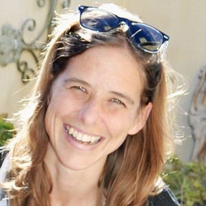 Dr. Jennifer Veitch
Principal Numerical Ocean Modeller at SAEON Egagasini and founder of the SOMISANA Initiative. Responsible for bringing SAEON and OCIMS together on operational modelling.
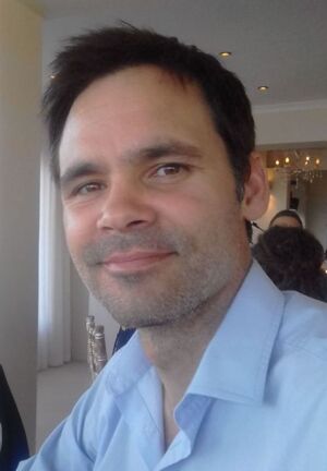 Dr. Giles FearonSenior Operational Ocean Modeller at SAEON, responsible for
expanding the modelling framework and for skills sharing and
development.
Dr. Giles FearonSenior Operational Ocean Modeller at SAEON, responsible for
expanding the modelling framework and for skills sharing and
development. 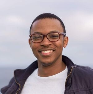 Mr. Nkululeko MemelaJunior Operational Ocean Modeller at SAEON primarily responsible
for model development, testing, evaluation, reporting and
maintains this website.
Mr. Nkululeko MemelaJunior Operational Ocean Modeller at SAEON primarily responsible
for model development, testing, evaluation, reporting and
maintains this website.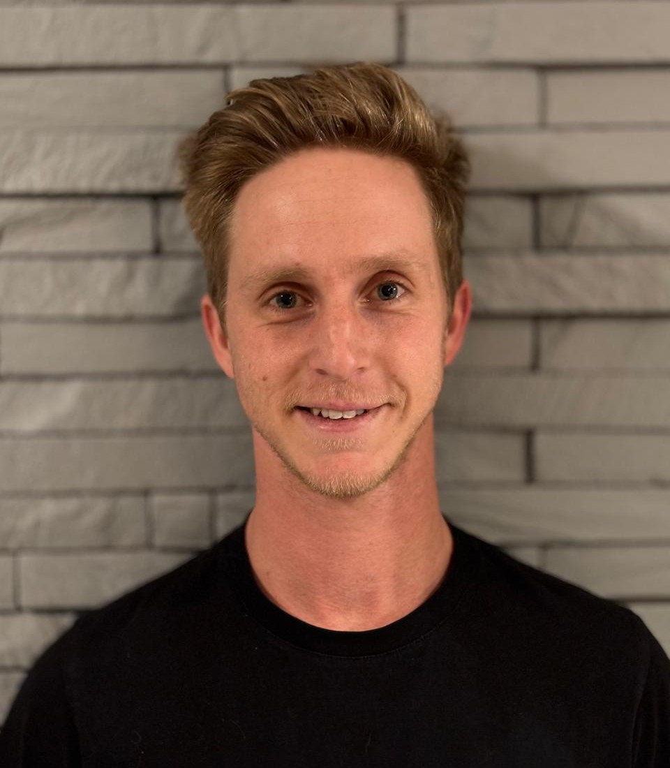 Dr. Gustav RautenbachMid-Level Operational Ocean Modeller at SAEON Responsible
for ocean model developments, model deployment and
model expansion across the South African EEZ.
Dr. Gustav RautenbachMid-Level Operational Ocean Modeller at SAEON Responsible
for ocean model developments, model deployment and
model expansion across the South African EEZ.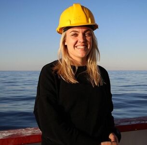 Dr. Laura BrabyPostdoctoral Fellow at SAEON Egagasini Node working on model
evaluation around Southern Africa, and researching the
variability of the Agulhas Current.
Dr. Laura BrabyPostdoctoral Fellow at SAEON Egagasini Node working on model
evaluation around Southern Africa, and researching the
variability of the Agulhas Current.
News
Highlights from the most recent SAEON news-letter articles on ocean modeling.Isn’t an ocean model just a digital version of the ocean, and
therefore a digital twin of the ocean? Once observations of
the ocean are digitised, can they be considered a digital twin
of the ocean? These are the questions I had in my own mind on
my way to China, which I rather sheepishly admitted to another
one of the attendees I met on the plane. I realized that I was
not alone in my uncertainty around the concept.
~Giles Fearon
~Giles Fearon
SAEON’s participation highlighted its collaborative work in
marine information management and high-resolution ocean
forecasting that forms a fundamental part of Sustainable Ocean
Modelling Initiative.
The second Coastal and Regional Ocean Community Model (CROCO) summer school,
organised by Lionel Renault (Institut de Recherche pour le Développement)
and Jennifer Veitch (South African Environmental Observation Network)
was hosted at the Centre for High Performance Computing in Stellenbosch..
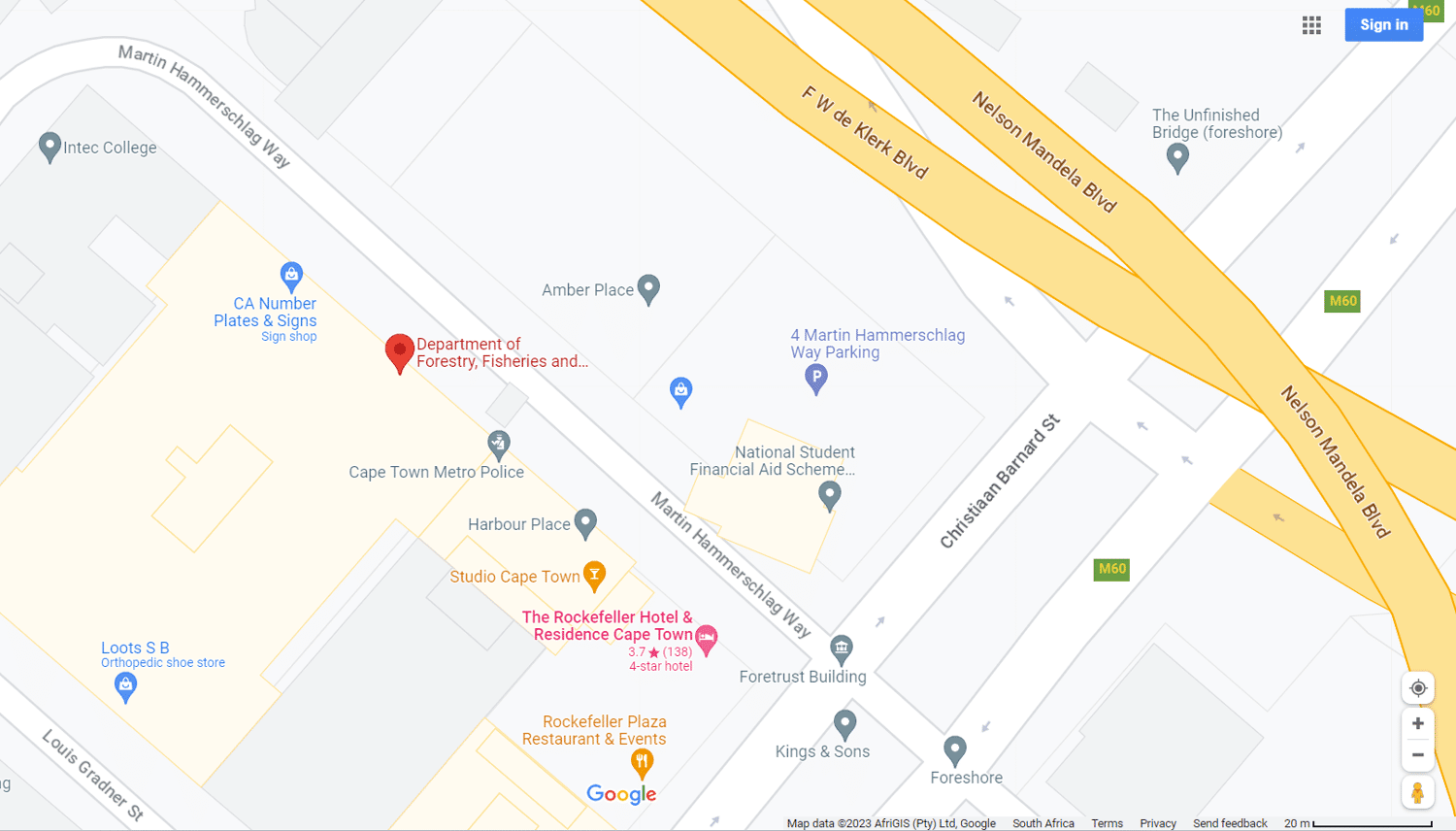
This is where to find us
Cape Town: Egagasini NRF-SAEON Office
Foretrust Building, Martin Hammerschlag Way, Foreshore,
Cape Town, 8001
nc.memela@saeon.nrf.ac.za
087 1832 054